Journal
Notes from UK land and building surveys
Practical reading for people about to commission a drawing — not a newsroom and not a place we recycle another firm’s case studies.
4 March 2026
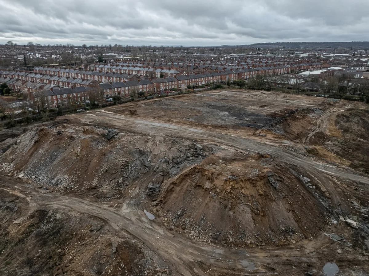
The features that belong on a British topo plan
A practical UK guide to levels, boundaries, trees, drainage and buildings on a topographical survey drawing.
18 March 2026
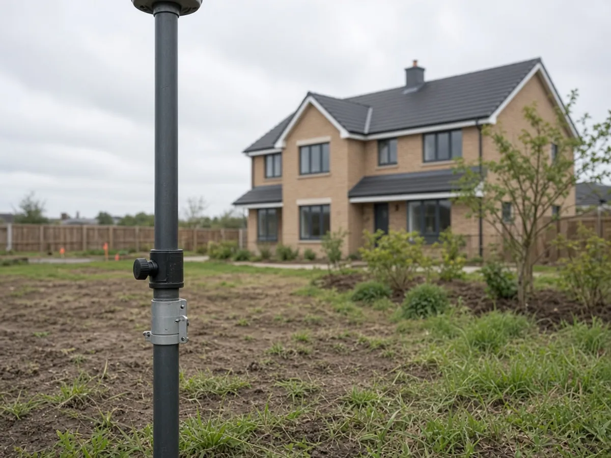
How GNSS and optical control are used together
Why UK surveyors combine GNSS receivers and total stations, and how that affects accuracy on tight urban plots.
2 April 2026
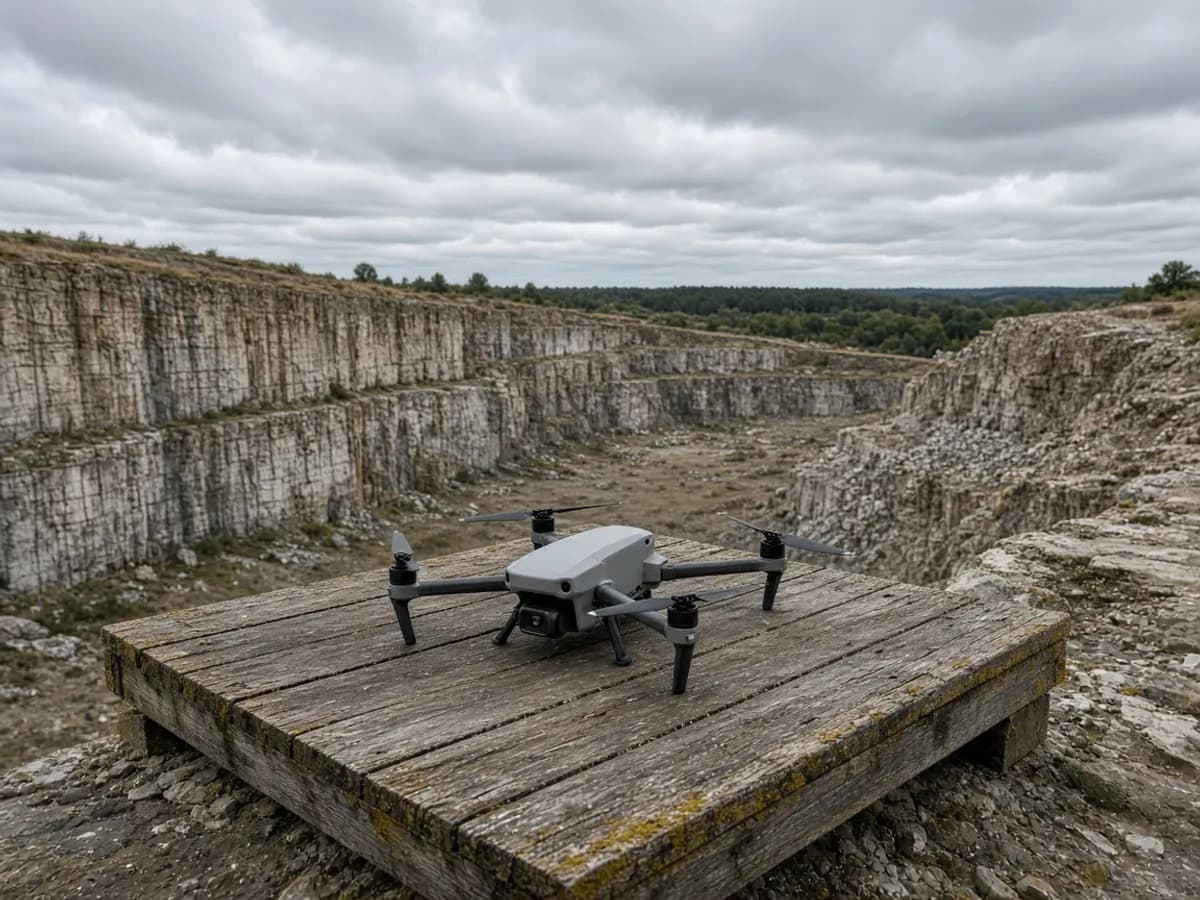
Choosing aerial mapping without skipping ground control
Where photogrammetry earns its keep on large or awkward UK sites, and when a walking topo is still the better tool.
16 April 2026
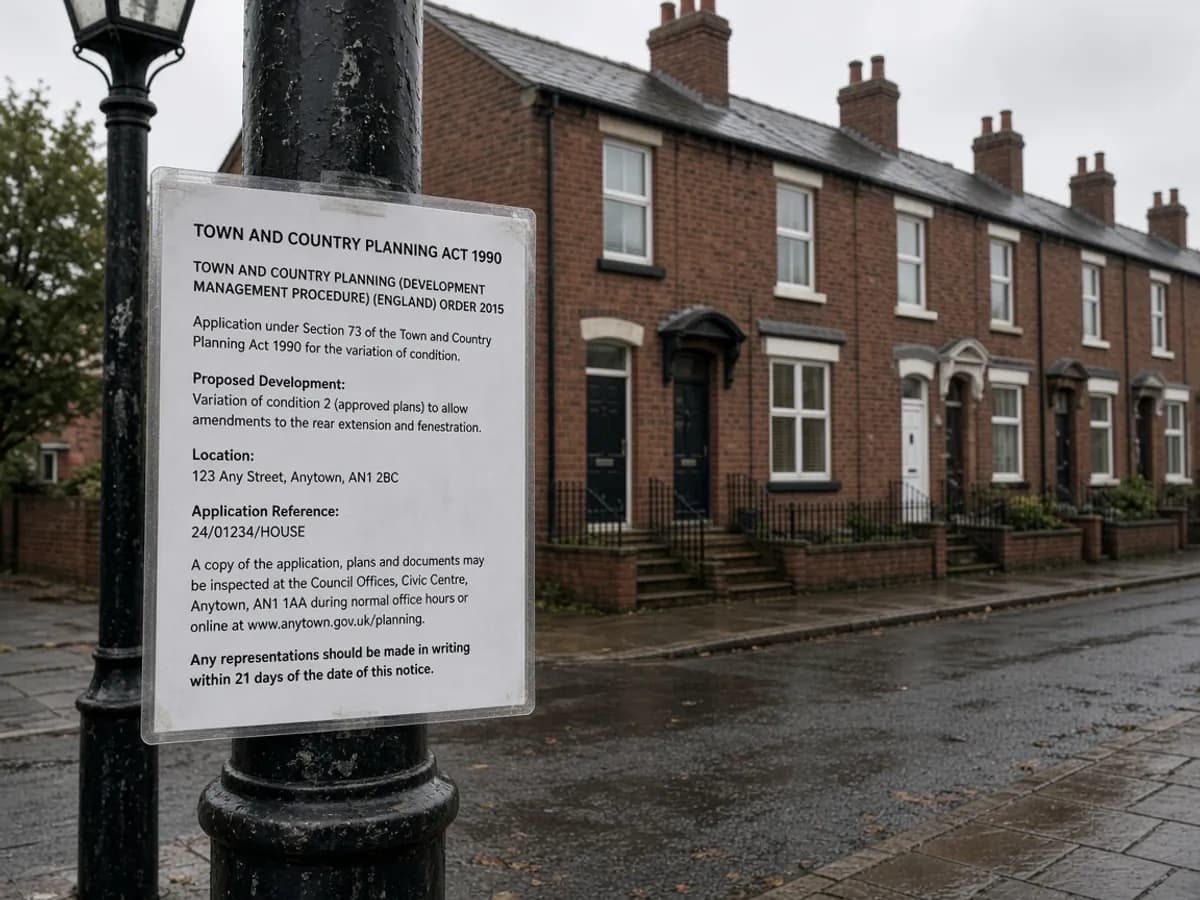
Why site levels belong in a planning pack
How topographical surveys support Planning Portal submissions, neighbour amenity and drainage statements.

30 April 2026
What a red-line plan does and does not prove
A plain-English note on general boundaries, title plans and why a measured survey still matters in England and Wales.
14 May 2026
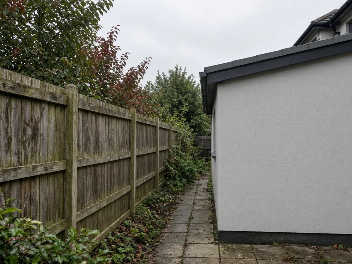
Mapping occupation before a dispute hardens
How measured occupation, photographs and title overlays help neighbours and solicitors talk about a fence line.
28 May 2026
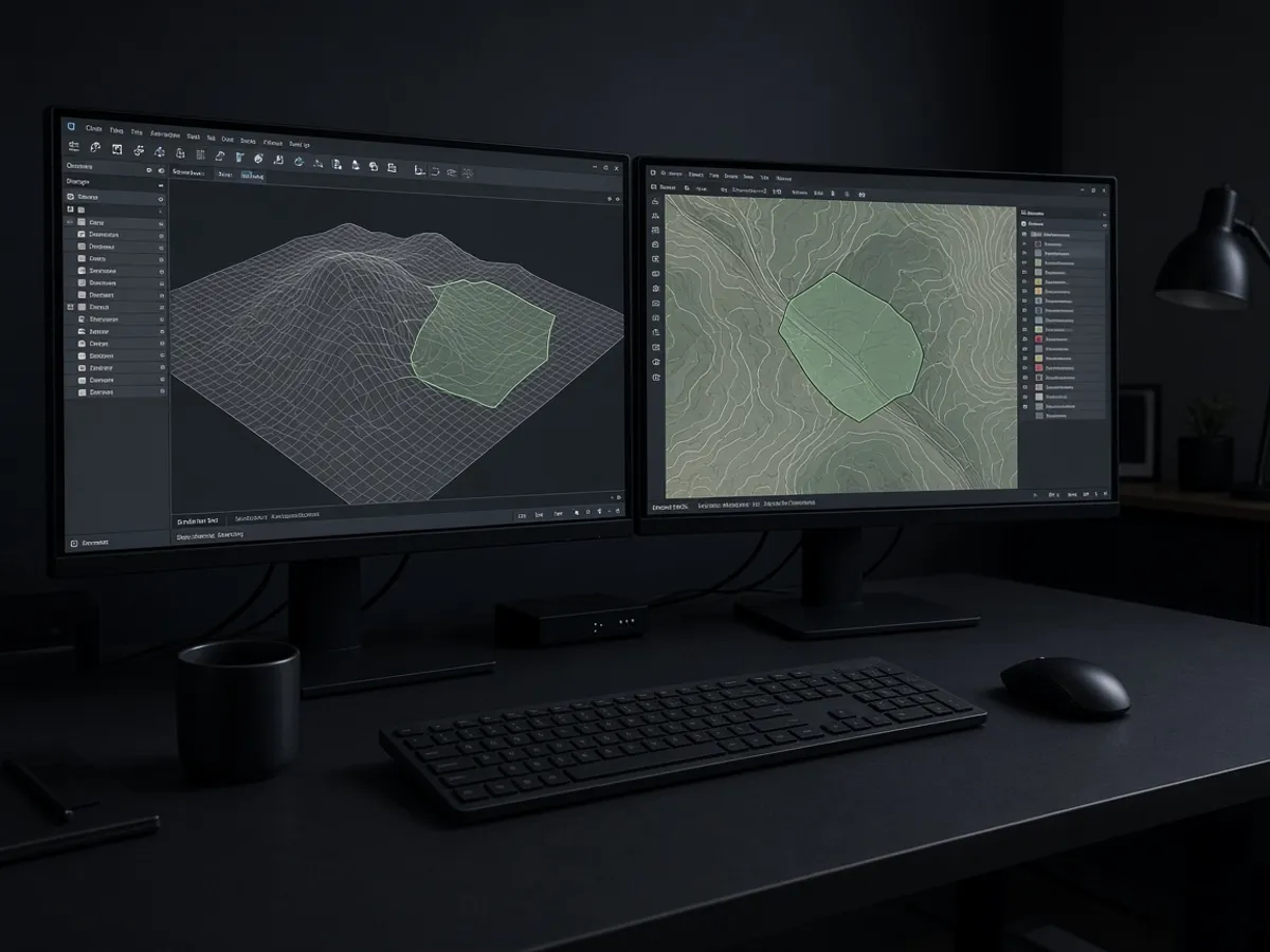
Picking a deliverable your design team can open
The difference between DWG, shapefile, PDF and a terrain model on a UK land survey.

11 June 2026
One control network for land and fabric
Why extensions and conversions in UK cities work better when the building and the garden share the same survey control.
25 June 2026
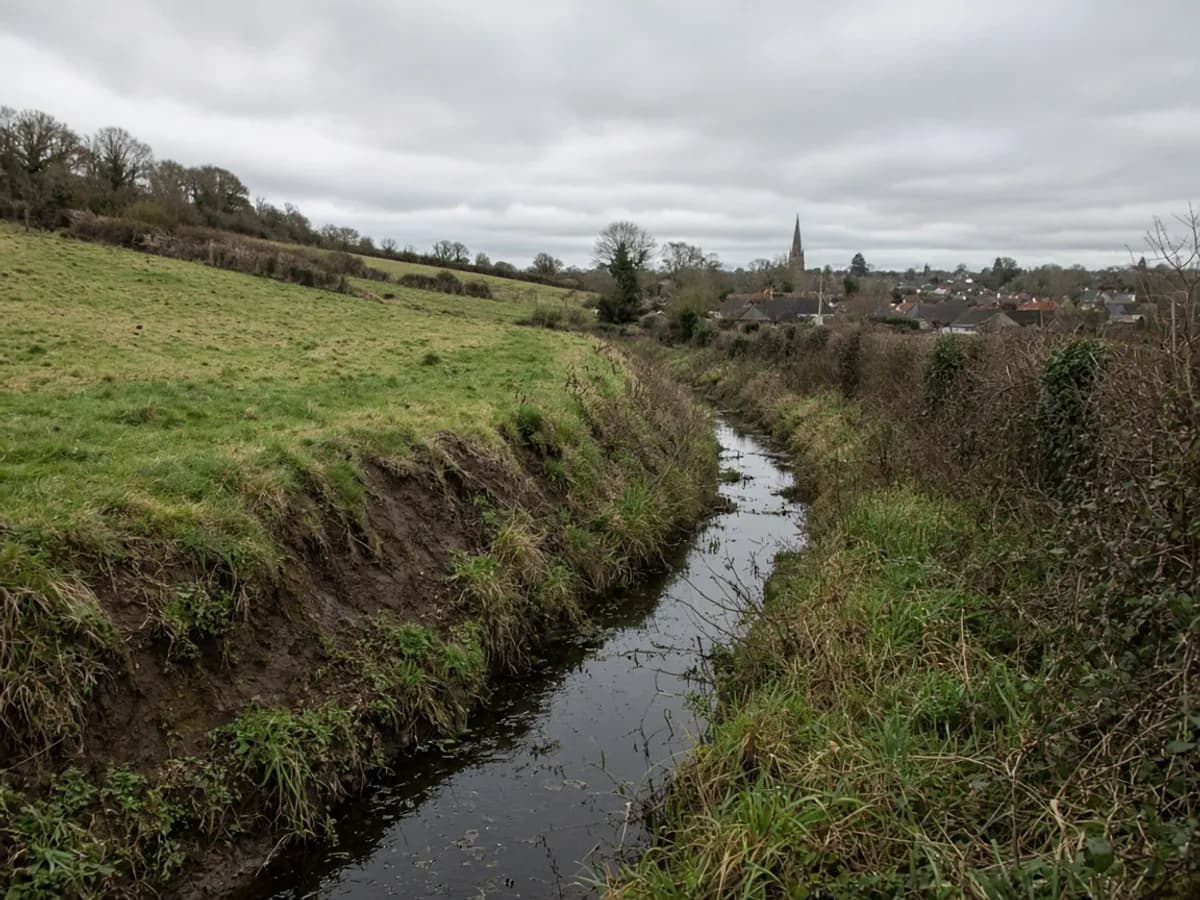
Spot heights that keep water on the right side of a wall
How contours, invert levels and finished-floor heights feed SuDS and building-control conversations.
9 July 2026
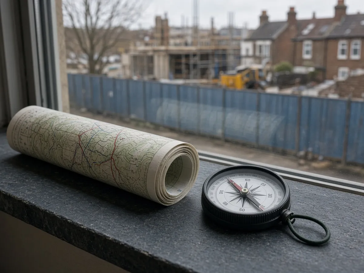
Access, vegetation and drawings that save a return trip
A short checklist for landowners and contractors before a topographical or measured survey team arrives.