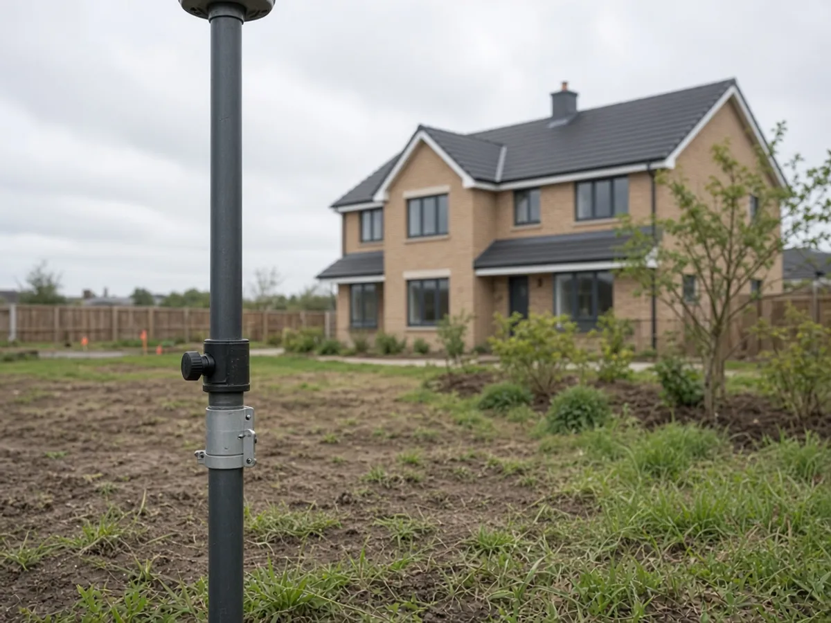
Brochures love a rover against a sunset. Real UK sites love cutting the sky into a sliver. This is a short note on why GNSS and a total station usually share the same day, and what that means for the drawing you receive.
What GNSS is good at
A GNSS receiver working to the national system that Ordnance Survey maintains through OS Net is a fast way to put a site on OSGB36 and Ordnance Datum Newlyn. Open fields, dock plates and new-build parcels with a view of the sky are the happy case. That is why a topo on a Cardiff Bay plate can start with satellites and stay there for most of the feature pick-up.
GNSS is also honest about its failures. Urban canyons in the City of London, heavy canopy, scaffolding cages and the lee of a mill all degrade the solution. A rover that is “fixed” in a poor sky can still be wrong in a way that looks professional on a screen.
What the total station is for
Optical measurement does not need the sky. It needs line of sight and control you trust. We use it to carry a network through a close in Glasgow, along a canal wall in Manchester, or down a side return that is one metre wide. It is also how we pick detail that a rover pole cannot comfortably hold: eaves lines, high walls, the far side of a live carriageway.
The two instruments are not a competition. GNSS establishes or checks control where the sky allows. The total station spends that control. A drone model that is not registered to the same stations is a third, lonelier system.
What you should ask in the quote
Ask which grid and datum you are buying. Ask whether the site will be traversed optically. Ask how the file will insert under your architect’s xref — that is a deliverables question as much as a field question. Published RICS measured-survey practice talks about control for a reason; it is not theatre.
If you are preparing the visit, leave room to set stations and do not assume a single tripod in the front garden will see the back hedge. The checklist in preparing a site is the companion to this note.
Residuals, not vibes
A professional network has leftovers — small mismatches that tell you whether the control is telling the truth. We do not put a residual plot on a marketing homepage. We do care that the file you open was not stretched to fit a pretty contour. If a site forces a local grid because the architect already drew 400 metres of road on one, we will match it and we will say how that local grid sits on OSGB36 so the next consultant is not lost.
Calibration and maintenance are ordinary. They are not a certificate we will invent for a footer. If an instrument is having a bad morning, we stop and we do not “make it work” with a hope. That is cheaper than a setting-out argument in month four.
Urban, canopy and the British weather
Rain does not stop optical work the way wind stops a drone. Multipath from glass façades does stop a rover from being as clever as it looked in a field. Scaffold nets eat signals. A churchyard full of yew eats them too. The quote should sound like the site you described, not like a brochure photographed in a quarry.
If you want a deeper product view, the topo page and the drone page are the right next clicks. For planning context, Planning Portal packs still assume someone measured the plot you are about to alter.
A last pass before you hit send
Tell us about the sky. Canyons, canopy, scaffold and viaducts are not colour. They are the reason a rover shares the day with a total station. Ask for the grid and datum in writing. Ask how the file inserts. Ordnance Survey already defined the national language; we should not invent a private dialect unless you have a reason.
If you want the product rather than the essay, start at topographical surveys or the contact form. The phone and inbox on this site are temporary; the brief you type is the reliable object.