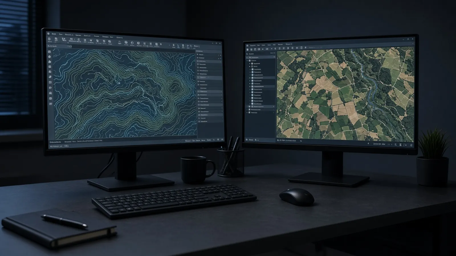
A survey that cannot be opened is a site visit with a souvenir. Architects live in CAD. Asset managers and some highways teams live in GIS. Everyone else lives in PDF. Earthworks and drainage teams increasingly want a 3D surface as well. We treat those outputs as part of the brief for every topographical survey, drone block and building job — not as an afterthought attached to an invoice.
CAD drawings
The working product is usually a 2D DWG on OSGB36, with levels on Ordnance Datum Newlyn unless you specify a local site grid. Spot heights, contours, breaklines, buildings, vegetation and a legend that matches the feature table in the quote. We will follow your layer naming if you send it; otherwise we use a clean, documented convention and include a key.
Design teams in London and Manchester often want the file ready to xref under a planning layout. That means units, insertion point and a model space that does not contain three forgotten title blocks. We check that before it leaves, because a drawing that inserts a kilometre out to sea is not a personality quirk — it is a wasted afternoon.
GIS for people who keep land for decades
Councils, utilities and estate managers ask for shapefiles or geopackages they can drop into an existing stack. The value is not prettier colours. It is attributes: feature codes, level values and dates that survive after the original PDF has been lost in a shared drive. We will not invent a corporate GIS schema for you, but we will honour one you already run.
National mapping alignment still matters. Files that ignore the coordinate systems Ordnance Survey documents will fail the first time someone overlays them on a corporate basemap. We would rather have that argument in the quote than in week five.
PDF plans
Solicitors, planning officers and clients who do not run CAD still need a stamped, scaled PDF. We issue sheets with a north point, a scale bar that is not decorative, a revision box and a note of the grid and datum. If the pack is heading for the Planning Portal, file size and a readable title matter more than a glossy cover.
Paper copies exist when someone still wants them. They are not automatically better; they are heavier. Say if you need them.
3D terrain and point clouds
Digital terrain models earn their keep on cut-and-fill, SuDS and landscape work. They are the right way to talk about a sloping Leeds field or a Cardiff Bay podium. Point clouds from a scanner or a drone are rawer: excellent for interrogation, poor as an unfiltered planning drawing. We will say which product you are buying.
Title overlays and boundary narratives can sit as additional layers or additional PDFs. They should not be baked anonymously into a design file that then gets issued as “the topo”.
Quality, not theatre
We check control, we check a sample of levels, and we check that the PDF matches the CAD. Instruments are maintained; that is ordinary professionalism, not a marketing certificate. Published RICS measured-survey practice is the tone we aim for. We do not watermark files with invented accreditation logos.
How we name files so they survive a shared drive
Revision letters, a date, and a project name that is not “scan1_final_FINAL”. The PDF and the DWG should describe the same issue. If we later send a boundary overlay, it gets its own name so it cannot be xrefed by accident under a setting-out file. This is unglamorous and it prevents expensive comedy.
We will also say what we did not include. A topo DWG is not a utility model. A point cloud is not a federated BIM environment. A title overlay is not a determined boundary. The legend and the transmittal note exist so the next consultant does not invent a scope we never sold.
Software, versions and the boring compatibility talk
Tell us the CAD year your architect actually opens. A current DWG that their 2016 licence cannot read is not a clever deliverable. GIS teams should name the EPSG code they expect. If nobody in the room can open a geopackage, do not buy one for the thrill. PDF/A is available when an archive is the real client.
If you are choosing formats, read CAD, GIS, PDF and 3D and levels and drainage. Then tell us what your architect, your civil engineer and your solicitor each need to open. One sentence each is enough, and it belongs in the quote so the fee matches the stack.
How this product sits next to the others
Formats are not a substitute for a brief. A perfect DWG of the wrong feature list is still the wrong survey. Name the land, air, fabric or legal product first. Then name the files.
If three people will open three different stacks, buy three outputs. It is cheaper than a redraw in week five. The journal note on CAD, GIS, PDF and 3D is the longer version of that sentence.
What a UK deliverables brief should contain
Who opens CAD, in which year. Who opens GIS, with which EPSG expectation. Who only forwards PDF, and whether that PDF must survive a Planning Portal upload. Whether a 3D surface is for cut-and-fill or for a meeting. Whether a point cloud is for interrogation or for theatre. Whether a title or boundary story must be a separate file.
Also send a layer standard if you have one, and a warning if you do not. We can issue a clean convention. We cannot issue a telepathic match to a house style that arrives after the drawing is finished. Insertion point and units belong in the quote because a file that appears in the sea is not a joke the second time.
The land still has to be measured. Pretty files of the wrong site are still the wrong site. Start at the topo or the city page, then come here to name the stack.
Questions we hear first
Which CAD format do you issue?
DWG is the default, with a matching PDF. Other CAD formats are available if your team cannot open a current DWG.
Can you follow our layer standard?
Yes, if you send it before we draw. Retrofitting a house style onto a finished file is slower and less clean.
Do you supply BIM models?
We can supply 3D surfaces and, on measured buildings, point clouds. A full federated BIM model is a different appointment.