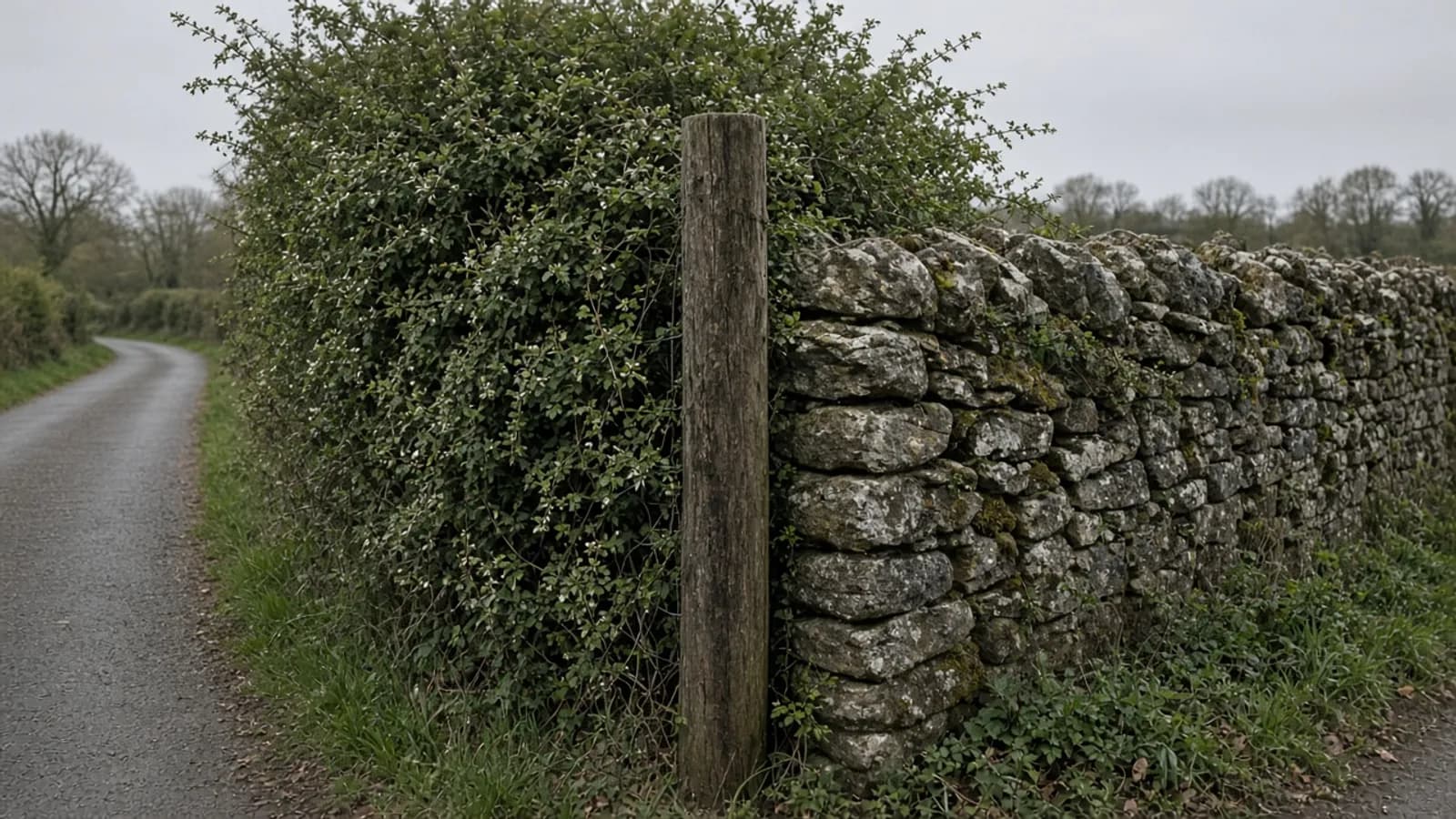
Boundary work is where land surveying meets other people’s feelings. A hedge that has wandered, a fence rebuilt after a storm, a garage that has sat “slightly over” since 1988 — none of those problems is solved by a confident paragraph on a website. What we can do is measure what is there, overlay what HM Land Registry shows, and give you a drawing that can travel with a solicitor’s letter.
Occupation is not title
In England and Wales the general boundary rule still surprises people who have only ever looked at a title plan. The red line is a guide, not a millimetre-true fence. Scotland has its own title and plan culture. We will say which regime we are working in and we will not import English assumptions onto a Glasgow tenement close.
Our survey records physical features: fence posts, wall faces, hedge centres or stems (we will say which), dropped kerbs, and buildings that sit near the line. We photograph as we go. Then, if you supply title documents or ask us to obtain official copies, we overlay the registered geometry at a scale that makes the mismatch visible instead of hidden in a thick line.
When this is the right product
Neighbours who are still speaking, but have stopped agreeing, are the usual clients. So are designers who need to know whether a proposed side extension in London sits inside occupation or only inside a hopeful red line. Developers assembling a city-centre plot in Manchester sometimes need the same clarity before they price a wall that might not be theirs to take down.
If you also need levels, trees and drainage, commission a topographical survey and treat the boundary as a layer on that job. If you need a plan that speaks Land Registry’s language for a registration or transfer, look at title plan support. Mixing those purposes in one untitled sheet is how a helpful drawing becomes a hostage in later correspondence.
What we will not do
We will not declare a legal boundary from a web form. We will not trespass. We will not write a report that pretends a single visit replaces adverse-possession advice, a determined-boundary application, or the judgement of a court. We will not invent a licence, expert accreditation or “panel membership” to make the PDF feel heavier.
We will describe uncertainty. If vegetation hides the original post line, the drawing will say so. If the title plan is at 1:1250 and the line is a millimetre wide on paper, we will say what that means on the ground. Honesty about scale is a professional habit, not a disclaimer in eight-point grey.
Method
Control is the same discipline as any other survey: GNSS where the sky is available, total station where it is not, tied to the national grid that Ordnance Survey publishes. That allows a later building survey or a planning layout to sit on the same numbers. Published RICS material on boundaries and measured surveys is the reference we keep in mind; again, that is about method.
Deliverables are usually a large-scale CAD and PDF, a title overlay where instructed, and a short narrative of what was found. Some solicitors also want the photographs keyed to the plan. We can issue GIS if your legal team has learned to open it; many have not.
Talk before it hardens
The cheapest boundary survey is the one done while people are still civil. Once a fence is ripped out or a wall is built, the evidence you needed is in a skip. If you are early, read boundary evidence for neighbours and how to read a title plan, then send the postcode and whatever title you already hold.
Evidence that travels
A useful boundary file is boring in the best way. It shows what was measured, how it was measured, and where the surveyor could not see. Photographs are keyed to the plan. The title overlay, if you asked for one, is a separate graphic language so nobody mistakes a registered line for a fence post. Dates matter. A drawing that does not say when the hedge was recorded is a weaker witness.
Neighbours sometimes want to attend. That can be civilising and it can be inflammatory. We will not referee an argument on the pavement. We will measure and leave. If both sides have already appointed solicitors, send us the correspondence so we do not wander into a tone that makes the letter worse.
Rural, urban and the awkward middle
A hawthorn hedge in a shire parish and a party wall in a city terrace fail in different ways. Rural lines hide in vegetation and old ditch lines. Urban lines hide in rebuilt fences and cellars. Coastal and riverside lines hide in erosion. We will describe the site type in the quote so you are not paying for a forensic narrative when you needed a design layer — or the other way around.
If the only question is “will the extension fit?”, you may need less law and more land. Start with the topo and add a boundary layer if the first site visit suggests the line is the thing that will move the design. If the question is already a letter before action, bring the solicitor into the briefing so the sheet is written for that audience.
How this product sits next to the others
Occupation is this page. Registered extent is the title page. Levels and trees are the topo. A designer who only needs to know whether an extension fits may need less law and more land. A solicitor who is already writing letters may need less CAD theatre and more narrative.
HM Land Registry geometry is a witness. It is not a verdict. We will keep saying that.
What a UK boundary brief should contain
Why the line is being asked about this month: a fence, a sale, an extension, a letter. Which side you can occupy. Whether the neighbour has been told. Title numbers and official copies if you have them. Photographs of features that may not last. Whether you also need levels and trees — if yes, add a topo rather than stretching this product until it snaps.
England and Wales still live with general boundaries and HM Land Registry title plans that are not millimetre-true. Scotland does not want that lecture pasted onto a close. We will say which regime we are in. We will not determine ownership from a web form. We will not trespass to make a nicer photograph.
If people are still speaking, measure now. If they are not, bring the solicitor into the briefing so the sheet is written for that file, not for a planning portal.
Questions we hear first
Can you tell us where the legal boundary is?
A surveyor can measure occupation and compare it with title. Determining a legal boundary is a different exercise and often needs legal advice. We will not pretend a website quote settles ownership.
Do we need the neighbour’s permission?
We can usually survey from your land and from public highway. Access onto a neighbour’s land is their decision. We do not climb fences.
Will this help a planning drawing?
Yes, if the designer needs to know where occupation actually sits. It is still not a substitute for a full topographical survey of levels and features.