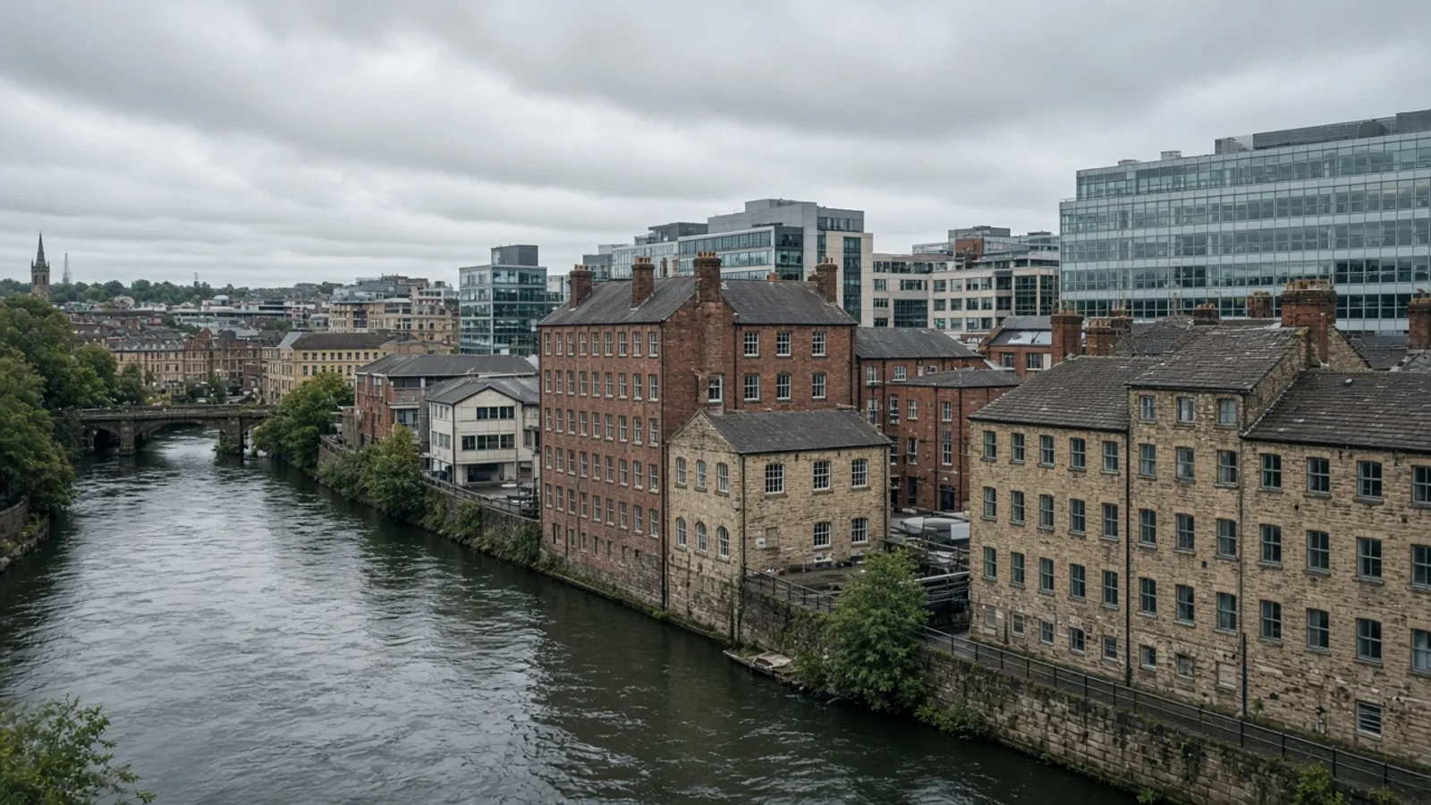
Leeds sits on a river and a set of hills, which is a polite way of saying that levels are never optional. A topographical survey in this city is often the difference between a ground floor that meets the street and a courtyard that becomes a tank in January.
Two official places we actually name
Leeds City Council is the local planning authority. Its South Bank and city-centre conversations, and its suburban conservation streets, all still require a site plan that matches a visit. We measure for that officer as much as for the architect.
For the wider labour and transport market that people mean when they say “Leeds city region”, the West Yorkshire Combined Authority is the official body that publishes the strategic picture. We are not their author. We name them because a plot in Kirkstall or on the edge of Bradford is still part of how work is commissioned in this corridor, and pretending the city stops at the inner ring road is a marketing habit we do not need.
South Bank, mills and hillsides
South Bank regeneration is a site type: former industrial shelves, railway edges and new streets that have to meet old levels. Mills along the Aire combine building fabric with yards that still flood in the memory of anyone who has worked there. Hillside suburbs — Headingley is the name people know — are where a garden fall of two metres is ordinary and a sparse contour interval is a mistake.
A drone survey can describe a large cleared plate quickly. It does not replace a walking survey of a back lane where every outbuilding is a boundary argument waiting for a boundary drawing.
Water is the unspoken client
If your civil engineer will later write about SuDS or finished floor levels, specify the contour interval and the invert pickups now. The journal note on levels and drainage is the right briefing. We can also overlay HM Land Registry extent where a riverside title is less tidy than the marketing plan.
Deliverables and grid
OSGB36 and Ordnance Datum Newlyn remain the default, in line with Ordnance Survey practice. CAD, GIS and PDF are chosen in the quote, not guessed after the visit. Many applications still enter through the Planning Portal; a current survey is what stops a validation delay about a building that has already been extended.
South Bank as a moving target
Regeneration drawings age quickly. A street that was a yard last year is a highway rumour this year. We will date the survey and we will recommend an update if your planning programme is long. That is cheaper than submitting a pack that shows a building the officer can already see has gone.
Mills still hide level changes at every floor and a yard that remembers floods. Combine fabric and land on one control network. If the river wall is part of the brief, say who may stand on it. Towpath and highway are not always the same permission.
Hills, suburbs and the wider region
Headingley, Kirkstall and the southern suburbs are where a two-metre garden fall is ordinary. Specify contour interval. Bradford, Wakefield and the rest of the city region are quoted from the same desk; they are not a different product with a different brand name. Tell us the local authority if you already know it so the validation conversation is aimed at the right officer.
Compare with Manchester if you are briefing a northern portfolio, or Glasgow if the hillside-and-river combination is the real sibling. Then send the postcode, whether the site sheds toward the Aire, and whether anyone has already promised a finished floor level without measuring the threshold.
Related products in the Leeds city region
South Bank and mill work usually combine land and fabric. Hillside suburbs need denser levels than a flat paddock specification. Drainage-led briefs should name inverts and contours up front — see levels and drainage. Title on riverside land should be overlaid, not assumed.
West Yorkshire is wider than the inner ring road. Say which authority will read the pack. Applications that still travel via the Planning Portal still need a site plan that matches a visit after the last extension was built.
If someone has already promised a finished floor level, send that number with the brief so we can tell you whether the existing threshold makes it kind or cruel. Then send the postcode.
A Leeds briefing we can actually price
Say South Bank, mill, hillside suburb or the wider city region. Name Leeds City Council or the West Yorkshire Combined Authority geography if you already know it. Say whether water is the unspoken client — if yes, specify contours and inverts, not “a few spots”.
Regeneration drawings age quickly. Mills hide floor plates that do not match the yard. Hills hide two-metre gardens. We will not price those as the same Thursday. Send the postcode and any promised finished floor level so we can tell you if the existing threshold is kind.
Questions we hear first
Do you cover Bradford and the wider city region?
Yes. Leeds is the named page because that is the search term. We quote the rest of West Yorkshire from the same desk.
The site is on a slope. Do we need denser levels?
Usually. Hillside suburbs and valley sides are where a thin grid of spots lies. We will say so in the quote rather than surprise you with a sparse drawing.