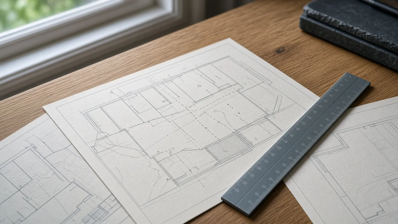
People ask for a “Land Registry survey” when they mean three different things: a plan to support a first registration, a lease plan that a buyer’s solicitor will not reject on sight, or a drawing that explains why the garden they mow is not the garden on the title. We can help with all three. We cannot, from a website, promise that HM Land Registry will accept a particular sheet — that decision sits with the registry and with the conveyancer who lodges it.
What a title plan is
An official title plan is a small-scale extract. It is excellent at telling you which parcel is which on a street. It is a poor instrument for arguing about 400 millimetres of patio. The registry itself is clear that most English and Welsh titles show a general boundary. If you need millimetres, you need a survey, not a zoomed PNG.
Our job is to measure the land and then, where instructed, show the registered geometry against occupation. Sometimes they agree closely. Sometimes a historic transfer left a strip that everyone has treated as a shared drive. The drawing should make that visible without theatrical red arrows.
First registrations, transfers and leases
Unregistered land still exists in pockets of the UK. A first registration needs a plan that identifies the extent being offered. Transfers of part need a plan that a registry officer can index. Lease plans for a floor in a Birmingham warehouse or a flat in Cardiff need to show the demise in a way that will not collapse at enquiry stage.
We draft those drawings from a measured base. That base is usually a topographical survey, sometimes paired with a measured building survey if the demise is a floor or a unit. The CAD file is the working object; the PDF is what travels with the application.
Working with solicitors, not around them
The client on these jobs is often a conveyancer as much as a landowner. We will use the layer names and notes they ask for. We will not give oral opinions about adverse possession on a phone call that nobody wrote down. If the instruction is really a neighbour dispute, we steer it onto a boundary survey with a narrative, because a “registry-looking” plan is the wrong tone for that conversation.
Published practice from the registry, and measured-survey practice discussed by RICS, is the shelf we work from. We do not list invented panel memberships or “authorised producer” badges.
Scotland, Wales and the rest of the UK
Registers of Scotland is not HM Land Registry with a different logo. If the site is in Glasgow or elsewhere in Scotland we will say so in the quote and we will not paste an English title-plan style onto a Scottish deed plan problem. Wales uses the same registry as England for most land registration purposes, but planning and local search culture still differ — a Cardiff Bay lease is not a Tower Hamlets lease.
National mapping still matters. Plans that ignore Ordnance Survey detail tend to look “off” to anyone who has spent a career reading them. We map against that framework even when the legal product is a simple red outline.
How to brief us
What “support” means in practice
Support means a measured base, a clear outline of the extent you asked us to show, and notes that a conveyancer can live with. It does not mean we will argue with a registry officer on your behalf, rewrite a defective transfer, or promise that a determined-boundary application will succeed. Those are legal processes with their own fees and their own disappointments.
Development plots often need both a design topo and a transfer plan. Doing them as one control job is cheaper than discovering, at completion, that the spine road sits on a strip nobody transferred. Estate sales of part need the same discipline: the field you intend to keep and the field you intend to sell should be distinguishable on the ground, not only in a colour wash.
Lease plans without wishful demises
A lease plan that shows a kitchen island as if it were a structural wall will come back. We measure the demise you name — a floor, a unit, a yard — and we will ask when the line crosses a shared corridor or a plant room. If the building has never been surveyed, do not ask us to invent a floor plate from a fire plan dated 2003.
Send the title number if you have it, the official copies you already hold, and a sentence about why the plan is needed this month. If the site is a development plot, say whether a planning layout already exists — we would rather overlay a real proposal than guess. The journal notes on reading title plans and boundary evidence are the right preparation if you are a private owner doing this for the first time.
How this product sits next to the others
A support plan is not a boundary narrative and not a planning topo. It can sit on the same control as both. Lease plans often need a building survey if the demise is a floor. Your conveyancer still lodges the application.
If the site is in Scotland, stop treating this page as a template and start at Glasgow.
What a UK title-plan brief should contain
The reason for the plan: first registration, transfer of part, lease, or an explanation of a mismatch. Title numbers. Official copies. Whether a planning layout already exists that should be overlaid. Whether the demise is land, a building, or a floor — floors need a measured building survey. Whether a neighbour dispute is the real engine — if yes, you may want a boundary narrative instead of a registry-looking sheet.
Your conveyancer lodges. We measure. HM Land Registry will not accept a plan because a website said so. We will not invent a panel membership to make the PDF feel heavier. We will use the national mapping framework from Ordnance Survey so the outline does not look “off” to someone who indexes land for a living.
If the site is in Scotland, say so in the first line. If it is a Cardiff lease, say whether the Bay or a terrace is the place. Those details change the drawing more than a decorative north point.
Questions we hear first
Do you lodge plans at HM Land Registry?
We prepare survey drawings that support an application. Your conveyancer lodges the application. We do not pretend to be a registry portal.
Is a title plan the same as a boundary survey?
No. A title plan shows registered extent at a small scale. A boundary survey measures occupation. They talk to each other; they are not the same product.
Can you work from a title download alone?
We can overlay it. We should still measure the site if anyone will rely on the result for a transfer, a lease or a dispute.