This brand is new. That is a fact, not a branding exercise. We would rather say so than invent a founding year, a panel of smiling surveyors or a shelf of trophies. What we do offer is a clear product list — topographical surveys, drone mapping, measured building surveys, boundary evidence, title plan support and usable files — and a national coverage model explained on the service areas pages.
How we work
A brief comes in with a postcode. We ask what the drawing is for, because a planning base, a cut-and-fill model and a neighbour letter are not the same appointment. We look at access and vegetation. We visit with GNSS, a total station and, where the site and the law allow, an aircraft. We issue CAD, PDF and whatever else the quote named.
We keep published RICS measured-survey practice and the national mapping framework from Ordnance Survey on the desk. That is a statement about method. It is not a charter mark, a regulation logo or a claim that a particular named surveyor is appointed to your job until you have a quote in writing.
What you will not find here
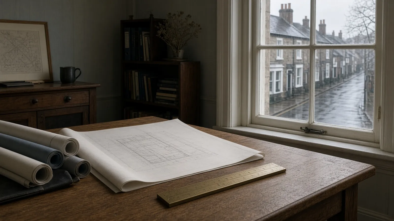
You will not find copied testimonials from another firm. You will not find a Surbiton street used as if it were ours. You will not find job photographs labelled as completed commissions. The images on this site are generic British landscapes, instruments and city scenes, each with its own alt text, used as atmosphere rather than evidence.
You will not find us claiming we can “fix” a legal boundary from a web form, or that HM Land Registry will accept a plan because we drew it. Conveyancers lodge applications. Courts settle some disputes. We measure.
Who the work is for
Architects and engineers who need a base they can xref. Householders who have been asked for a site plan they cannot honestly draw. Solicitors who need occupation shown against title. Developers who are tired of the last surveyor’s private grid. If you already have a drawing, send it — outdated information is one of the problems a new survey is meant to retire.
Telephone and email on this site are temporary placeholders. They are repeated on the contact page and in the footer so nobody mistakes them for a historic number. The quote form is the reliable way to leave a brief.
Questions we hear first
Where are you based?
We work across the United Kingdom from a national desk. This site does not invent a high-street office or a Surbiton-style address.
Are you RICS-regulated?
This website does not claim membership, regulation or a licence we have not shown you. We prepare surveys with published RICS measured-survey practice in mind.