A topographical survey is the first honest drawing of a site. It tells an architect where the ground sits, a planner how the proposal meets the street, and a contractor which tree, kerb or chamber will argue with the setting-out. We produce these surveys across the United Kingdom for householders, design teams and developers who need something more reliable than last decade’s PDF.
What the survey is for
Think of the finished plan as a calibrated map of your land, not a pretty picture. We record buildings, boundaries as they are occupied, trees, roads, surface drainage and the rise and fall of the ground. Architects use that sheet as the base for a planning drawing. Engineers use the levels to test falls. Landowners use it to see, in one place, what they actually own in occupation even if the title story is more complicated.
The same product supports a house extension in a London terrace, a mill conversion in Manchester, or a hillside plot above the Clyde. The feature list changes; the need for a controlled measurement does not.
Why UK projects stall without one
Wrong levels put foundations and finished floors in the wrong place. That is not a theoretical risk on a sloping Victorian terrace — it is how neighbours end up in a daylight argument and how a patio meets a threshold with a step nobody drew. Vague boundaries create a second class of delay: a fence that everyone “knew” was the line until a tape from the opposite corner said otherwise. Planning packs fail a third way, when a validation officer looks at a site plan that does not show the tree, the dropped kerb or the neighbour’s extension that is already there.
A current survey does not make those conversations vanish. It stops them being arguments about whose memory is kinder. If the application will travel through the Planning Portal, a scaled, dated drawing is one of the few documents that still earns its keep after the forms have been filled.
How we run the work
We start with a conversation, not a template. You tell us whether this is a planning base, a cut-and-fill model, or a drawing that must also serve a solicitor. We look at access, vegetation, live traffic and any existing CAD you already trust. Then we visit.
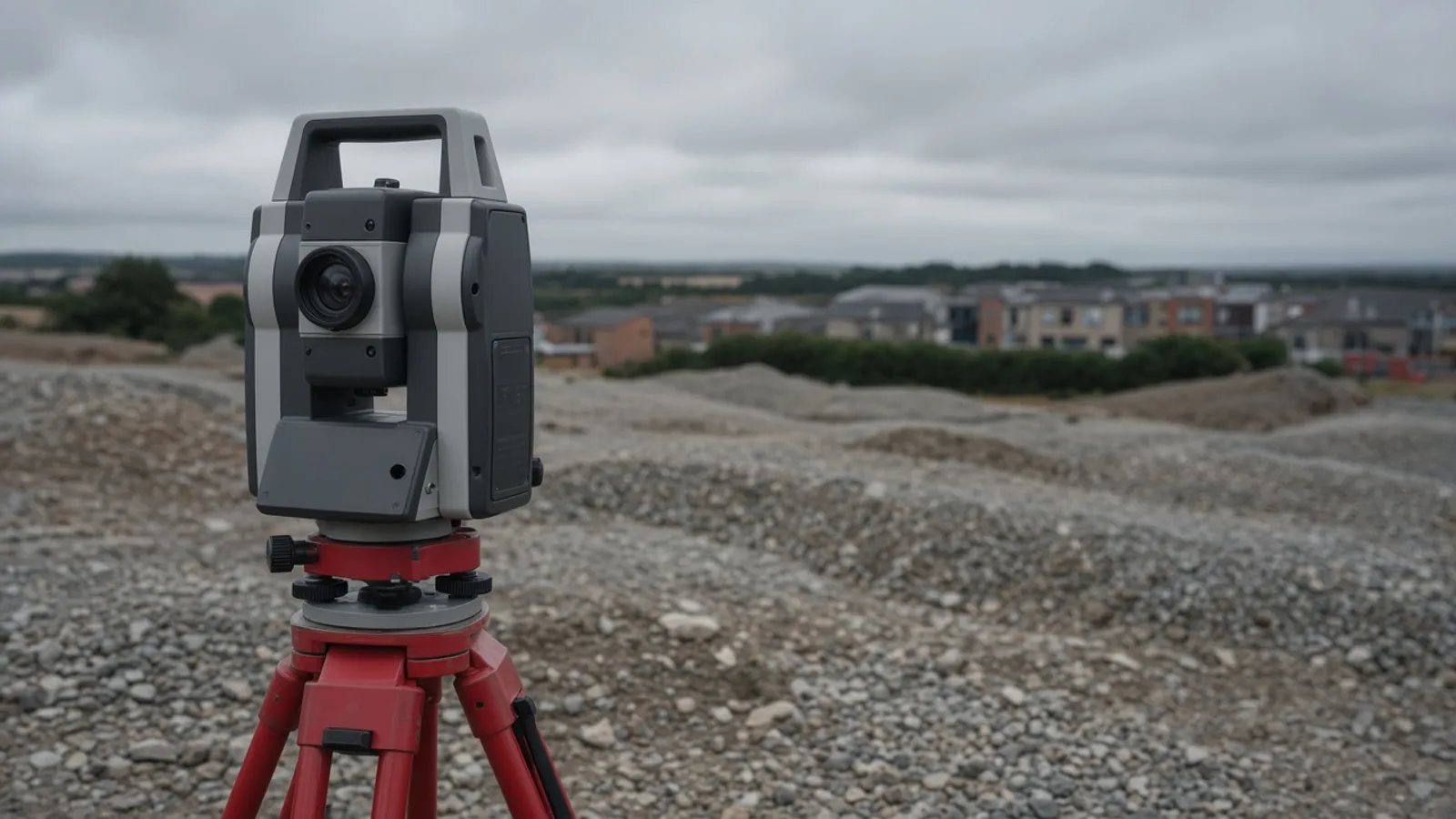
On site we combine GNSS, a total station and, where the brief justifies it, a drone. Open land likes the satellite sky. Urban canyons and tree cover do not, so optical work carries the control through the parts a rover cannot hold. We do not treat drones as a novelty: they are a way to measure roofs and unsafe margins once ground control exists.
Processing turns observations into a drawing someone else can open. That usually means CAD for the design team, a PDF for everyone else, and optionally GIS or a 3D surface. Read the deliverables note if you already know the software you use. We work with the national mapping framework published by Ordnance Survey so the file sits on a grid your civil engineer already understands.
Buildings, land and the legal edge
Many instructions are really two surveys wearing one coat. A measured building survey records the fabric; the topo records the land it sits on. Doing them apart, on different grids, is how door thresholds miss garden levels by a course of bricks. We prefer one control network.
Where the question is “where is the line?”, we move the brief onto a boundary survey or a title plan overlay. HM Land Registry title plans are not, by themselves, a precise boundary. We will say that in the quote so nobody thinks a red line on a download is a substitute for occupation on the day.
Environmental detail and later ground work
Trees, watercourses and ecological edges belong on a topo when the planning story will mention them. We are not an arborist and we do not issue tree reports from this brand, but we will position stems and canopies so that someone else’s BS 5837 drawing has somewhere honest to sit. The same logic applies to trial pits and borehole locations: a surface model is the base a geotechnical team uses to say where they dug.
We prepare the work with published RICS measured-survey practice in view. That is about the discipline of the drawing, not a membership badge on this website.
What you receive
- A 2D CAD file with levels, features and a legend that matches the brief.
- A scaled PDF for circulation and planning portals.
- GIS or 3D surfaces where the quote includes them.
- A short method note so the next consultant knows the grid and datum.
A typical UK brief, written out
A householder in an English terrace usually needs existing levels through the garden, the neighbour’s eaves, the side return and enough of the street to draw a site plan that will survive a planning visit. The contour interval is tight. Trees are positioned if anyone will mention them. The output is CAD plus a PDF that can be uploaded without crushing a validation checklist.
A regeneration plot is a different paragraph. You may want a wider corridor, a terrain model for cut-and-fill, and a drone block for the parts that are still a stockpile. Occupation along the legal edges should still be walked. Title overlays sit on a separate layer so a designer does not issue a legal story to a contractor by accident. We will ask which of those sentences is yours before we price a “standard topo”.
Infrastructure and estate work adds corridor length, live traffic and the need to come back when a possession window opens. We do not pretend a single Thursday is a programme. We also do not invent a framework appointment or a named contractor logo to make the quote feel heavier.
Quality without theatre
Control is checked. A sample of levels is checked. The PDF is checked against the CAD so a scale bar is not decorative. If vegetation or a locked gate left a hole, the drawing says so. That is ordinary professionalism. It is not a watermark, a trophy photograph or a claim that every millimetre on a windswept hillside is sacred.
If you are still deciding whether you need a walking topo or an aerial block, the journal piece on what a survey includes and the note on commissioning a drone are the right next reads. Then send the postcode, the purpose, and whether anyone else already surveyed the same land last year.
How this product sits next to the others
A topo is the land. Add a building survey when a threshold or a ridge will move the design. Add a drone when the ground is the wrong place to stand. Add a boundary or title sheet when the red line is the argument. Do not ask one untitled PDF to be all four.
National mapping from Ordnance Survey remains the grid we sit on. Planning still expects a drawing that matches a visit. That is the whole product, said without a slogan.
Questions we hear first
How long does a residential topo take?
A modest garden or single building plot is often a single site day plus processing. Larger estates and live construction sites take longer because access and safety change the programme.
Will the drawing sit on Ordnance Survey grid?
Yes, unless you specify a local grid. We normally deliver on OSGB36 with levels on Ordnance Datum Newlyn, which is the language most UK design teams already use.
Can you pick up underground services?
A topo records what is visible at the surface. Buried utilities need a separate detection brief. We can coordinate that conversation; we do not invent a PAS 128 certificate on this page.