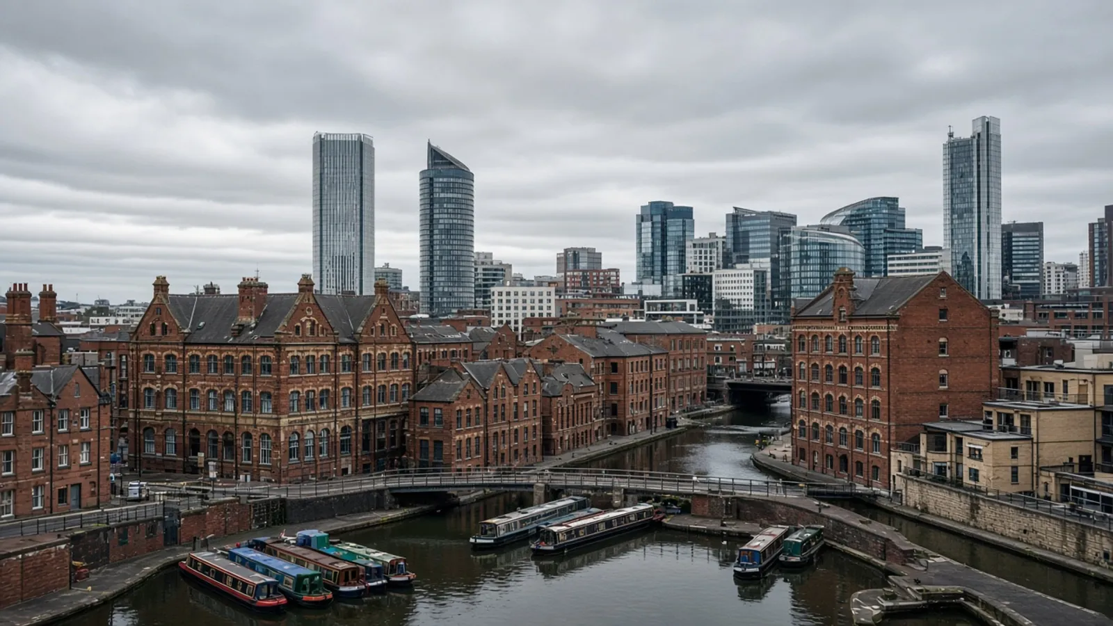
Birmingham is a city of basins, viaducts and clearances. A topographical survey here often has to describe a yard that still takes deliveries, a canal coping that is also a party edge, and a street that will look different after the next phase of civic works. We measure what is there on the day — not what a regeneration rendering hopes will be there next year.
Two official places we actually name
Birmingham City Council is the planning authority for the city itself. Its local lists, conservation areas and the simple fact of a very large urban area are why a one-page “site location plan” is not a survey. We produce the measured base that a householder in Harborne and a promoter in the city core both need before they argue about massing.
For strategic context that sits above a single ward, the West Midlands Combined Authority publishes transport and growth material that explains why so many plots now live next to a changing railway fence. We are not a combined-authority contractor and we do not claim a place on a framework. We do recognise that a survey next to a live rail corridor needs a different access conversation than a quiet suburban garden.
Digbeth, basins and the awkward middle
Digbeth’s warehouses are a type, not a trophy list. They combine a building survey of irregular floor plates with a topo of yards that still host raves, trucks or both. Canal basins around the centre add water, towpath rights and levels that do not match the highway. A drone can help on a large clearance; it cannot see an invert in a chamber and it cannot invent permission to hover over a neighbouring terrace.
Rail-adjacent land is another type. Hoardings move. Access that existed last month is a locked gate this month. We will price a return visit if the site is mid-transformation rather than pretend one session will outlive the next possession.
Title and occupation in a city that was assembled
Industrial Birmingham was sold in strips. A boundary survey or title plan support is often the difference between a clean assembly and a strip of land that only exists on HM Land Registry until someone tries to build a bin store on it.
Outputs that survive a design team
CAD on OSGB36 remains the default, with GIS where an asset owner asks, as set out on the deliverables page. Ordnance Survey grid is how West Midlands engineers already think. Planning packs still go through the Planning Portal for many applications; a dated survey is the part that should not be “close enough”.
What “rail-adjacent” means on a quote
It means hoardings that move, a gate that is no longer the gate, and a need to talk about possessions without claiming we hold one. It means vibration and dust that are someone else’s appointment. It means we may recommend a targeted update after the next blockade rather than a single heroic visit. We do not print a principal-contractor logo we do not have.
Digbeth after dark and Digbeth at 8am are different sites. Cultural uses, remaining industry and new residential all share yards. If you need the building and the yard, say so in one brief so the loading door and the asphalt agree.
Suburbs and the rest of the city
Harborne gardens, Sutton plots and the industrial east are still Birmingham. They need the same honesty about trees and neighbours as a city-centre basin, with less canal coping and more school-run parking. We will not pretend the city page is only for promoters with renders.
If you are comparing northern and midland markets, Manchester and Leeds have their own canal-and-mill grammar. For briefing notes see preparing the visit and GNSS and total stations. Then send the postcode and whether the yard will be full of vehicles on the day.
Related products in the West Midlands
Digbeth and the basins are usually land plus building. Suburban gardens are a planning topo. Rail-adjacent land is a programme conversation before it is an instrument conversation. Title strips from old industrial sales are a boundary or registry add-on.
We will not claim a place on a combined-authority framework or a named rail contract. We will measure the plot you name, on the grid Ordnance Survey already taught your civil engineer, and we will date the drawing so it cannot pretend to outlive the next hoarding.
If the yard will be full of vehicles, say so. If the warehouse is a Saturday venue, say so. Those sentences change the day more than the city name does.
A Birmingham briefing we can actually price
Say Digbeth, basin, suburb or rail-adjacent. Say whether the warehouse is still a venue on Saturday. Say whether the city council or another West Midlands authority will read the pack. The combined authority is named for strategic context, not as a client list.
Hoardings move. Gates move. We will price a return visit if the site is mid-transformation. Combined land and fabric instructions travel better as one control job. Send the postcode and the quiet hour.
Questions we hear first
Do you work along the rail programme corridors?
We survey land that happens to sit near major rail works. We do not claim a special licence or a named contractor framework on this page.
Can you combine a warehouse internal survey with the yard?
Yes. That is a common Birmingham brief and it should share one control network.