Topographical Surveyors UK is a national desk. A postcode in Cornwall, a hillside outside Inverness or a trading estate in County Durham is still a brief we will read. We publish city pages because that is where planning culture, traffic and access habits concentrate — and because searchers in those places deserve copy that names real streets and real civic bodies, not a cloned paragraph with the city swapped.
Each city page links to at least two official places in that city and explains the site types we actually quote: borough planning plots, regeneration land, waterfronts and rail-adjacent yards. None of those descriptions is a fabricated case study with a client name and a hero photograph of “our team on Tuesday”.
How to choose a city page
If your site is inside Greater London, start with London. Greater Manchester and the canal-side belt sit under Manchester. The West Midlands conversation — including land that lives with the rail programme — is Birmingham. West Yorkshire and the Aire corridor are Leeds. West of Scotland and the Clyde are Glasgow. South Wales and the Bay are Cardiff.
If you are none of those, stay on this page and send the postcode anyway. The topo, drone, measured building and boundary products do not change their names at the M25.
How a national desk actually prices travel
We do not pretend a surveyor lives on every high street. Travel sits in the quote as time and cost, not as a mystery. A compact city plot can still be a long day because of access. A rural hectare can be efficient if the sky is open and the brief is a walking topo rather than a forensic boundary narrative. We would rather say that in writing than advertise “free nationwide attendance” we would later claw back.
Combined instructions — land plus fabric, or land plus a title overlay — usually travel better as one visit. If your portfolio crosses England, Scotland and Wales, say so early so we do not write an English title paragraph onto a Scottish close.

London
Borough planning plots, constrained yards and riverside sites from the City to the outer London boroughs.
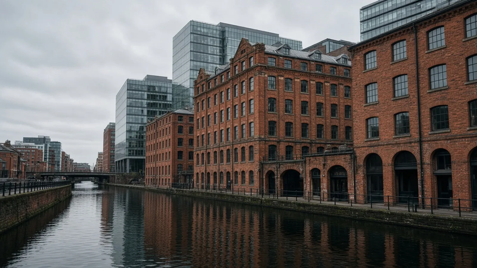
Manchester
City-centre infill, canal-side mills and Greater Manchester regeneration plots.
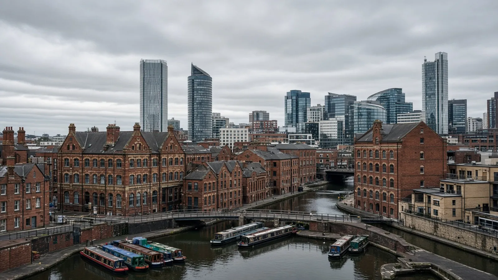
Birmingham
City-centre sites, Digbeth warehouses and plots influenced by the West Midlands rail programme.
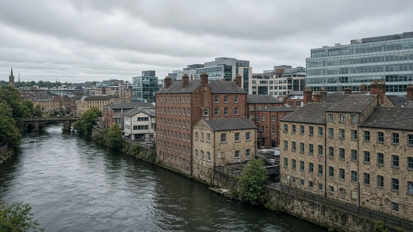
Leeds
South Bank regeneration, riverside mills and West Yorkshire development plots.
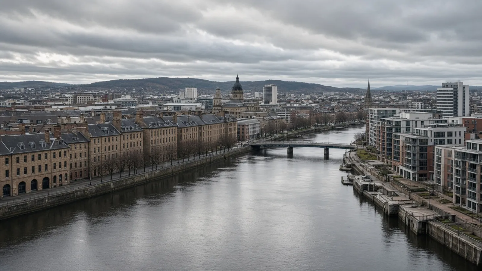
Glasgow
Clyde waterfront, Merchant City yards and west-of-Scotland hillside plots.
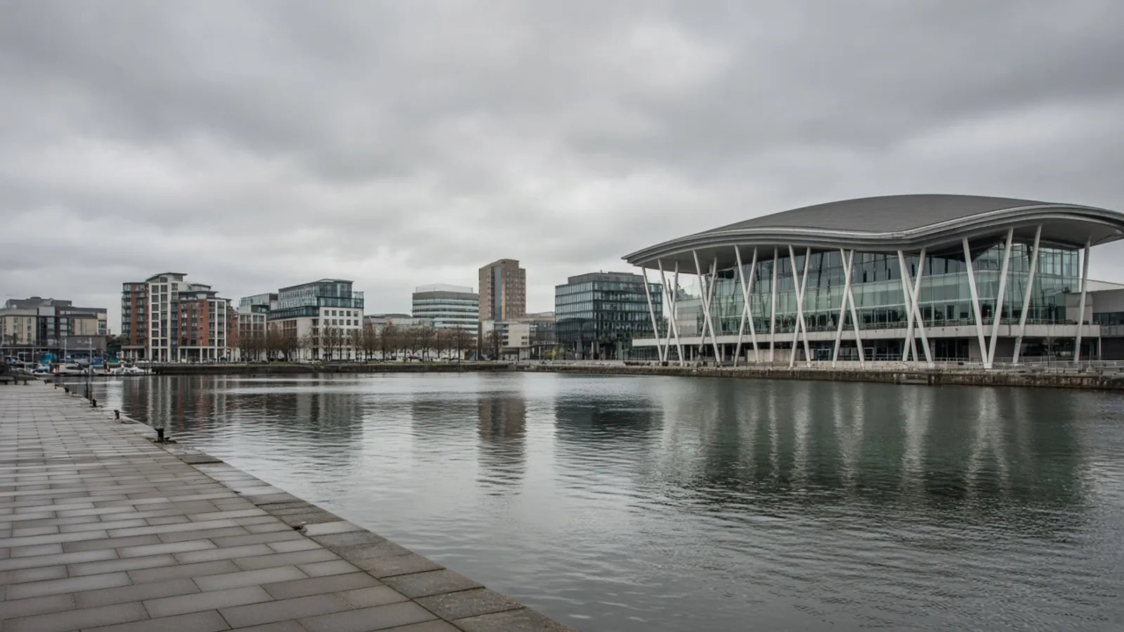
Cardiff
Bay waterfront, civic quarter and neighbourhood plots across the Welsh capital.