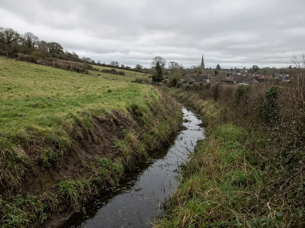
Water goes downhill. That sentence has ended more UK projects than any aesthetic argument. This note is about specifying levels so a drainage designer, a landscape architect and a building-control officer are looking at the same ground.
Spot heights are not decoration
A thin scatter of spots on a sloping Leeds garden is how a patio meets a threshold with a step nobody drew. Ask for a density that matches the fall. Contours should be an interval a human can read — 0.2 metres on a tight plot, wider on a paddock — and they should honour breaklines, not waltz through a wall.
Finished-floor conversations need existing thresholds. That is why a topo and a building survey belong together on most extensions. See combining the two.
Inverts and the things a drone cannot see
If the brief includes drainage design, say so. Chamber covers are easy. Inverts need a lift, a tape and permission. A drone will not fetch them. Surface channels, ditches and the wet corner of a Bay yard still belong on the plan even when the invert is a later visit.
SuDS, neighbours and planning
A design that sheds toward a neighbour is a planning and a legal problem. Officers using the Planning Portal path still need existing levels to test the story. We do not write the drainage strategy. We give it a ground model that is not a guess.
3D surfaces help on cut-and-fill. They do not replace a 2D sheet a solicitor can print. Choose both in the deliverables conversation, on the datum Ordnance Survey already defined. Then walk the site after rain if you can — the ground will tell you where the drawing still needs a spot.
Breaklines are how water is told the truth
A contour that waltzes through a wall is a lie. Kerbs, tops and bottoms of banks, channels and the crown of a path are the lines a surface should honour. If your quote only says “0.2m contours” and never mentions breaklines, ask. The difference shows up as a puddle in a visualisation or a puddle on site.
Finished-floor proposals should be tested against existing thresholds and against the neighbour. We will not choose your FFL. We will give you the numbers that make the choice defensible. If a landscape architect will regrade the garden, they still need the existing as a before, not only a dream section.
Chambers, permissions and the return visit
Lifting covers on a live highway is not a casual extra. Confined-space habits, traffic and locked lids all change the fee. Say whether inverts are this appointment or a later one. Do not assume a drone will substitute. It will not.
After rain, walk the site if you can and send us a photograph of the wet corner. That is not unscientific. It is how we know where an extra spot still belongs before the CAD is issued. Then read the topo product and name drainage in the first email.
A last pass before you hit send
Name the fall. Name the interval. Name whether inverts are this visit. Honour breaklines. Test promised finished floors against existing thresholds. Water will not read your visuals. It will read the ground we measured, or the ground you guessed.
If you want the product rather than the essay, start at topographical surveys or the contact form. The phone and inbox on this site are temporary; the brief you type is the reliable object.