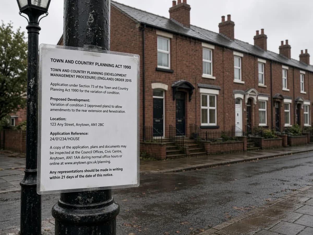
Planning packs fail for ordinary reasons. The site plan does not show the neighbour’s extension. The tree is a circle in the wrong place. The street scene was drawn from memory. A current topographical survey does not write the design and access statement for you. It stops the statement describing a site that a site visit will contradict.
What officers actually look at
They look at context. They look at levels if amenity or flooding is in play. They look at whether the proposed ridge is being compared with an existing ridge that exists. The Planning Portal is the front door for many English and Welsh applications; local validation lists still expect a scaled drawing of the building in its plot. Scotland has its own path — see the Glasgow page — but the need for a true existing drawing does not vanish at Gretna.
Householder work in London boroughs is the volume example: a rear infill that sits 400 millimetres above the neighbour’s patio. Regeneration work in Manchester is the other: a podium that has to meet a historic loading dock. Both fail without levels.
What to put in the survey brief
Tell the surveyor it is a planning base. Ask for enough context beyond the red line. Ask for trees if the officer will mention them. Ask for a PDF that is actually readable when uploaded, not a 400-megabyte poster. The topo product and the PDF sheet are the two halves of that request.
If the application will also argue about a line, add a boundary layer. If it will alter the fabric, add a measured building survey. Do not make the planning officer be the first person to notice that the garden and the kitchen floor do not meet.
Out-of-date drawings
A survey from 2014 is a historical document. Conservatories appear. Substations appear. Hedges wander. Reusing a pretty CAD file because it “looks like the site” is how validation letters are born. Commission a new visit, or a targeted update with the changes listed. RICS measured-survey practice is about fitness for the purpose you named this year, not last decade.
Validation is a checklist, not a vibe
Local lists still ask for a site plan at a stated scale, existing and proposed elevations, and enough context to see the proposal in the street. A surveyor does not tick those boxes for you. We give you a true existing so the boxes you tick are not fiction. If your designer is still working over a 2016 estate sketch, the officer is not the problem.
Amenity arguments — overlooking, daylight, the height of a ridge against a neighbour — live or die on existing levels and eaves. Flood and drainage statements live or die on the same numbers. We do not write those statements. We stop them describing a garden that falls the other way.
Householder, major, and the in-between
Householder packs are volume work and they still fail when the side return is wrong. Major applications fail when the parameter plan floats above a site nobody measured this year. The in-between — a small block on a tight Manchester infill — fails both ways at once. Brief the survey as if an officer will stand on the pavement with your PDF in hand, because they will.
Useful companions: what belongs on the plan and land plus fabric. Then send the postcode and the application type if you already know it.
A last pass before you hit send
Write the application type. Write the year of the last survey. Write the neighbour condition you are afraid of. A current topo will not write the statement. It will stop the statement describing a house the officer can already see has changed. That is the whole point of this article.
If you want the product rather than the essay, start at topographical surveys or the contact form. The phone and inbox on this site are temporary; the brief you type is the reliable object.